BatchGeo is the fastest way to map data
See your map below. If you find any markers out of place - just drag and drop them to the correct location.
Map Information
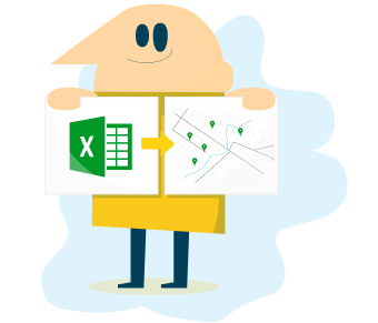
From spreadsheet to map in three simple steps
Simple Data Mapping.

Use Cases
Map Your Table Data

Sales Mapping

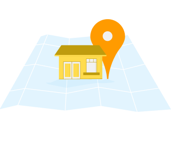
Real Estate
Store Locator

Data Analysis
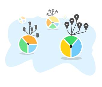
Organize Data
BatchGeo Blogs
Power up Your Maps With BatchGeo Pro
What you get with Pro
Frequently asked Questions
Yes! BatchGeo offers a free tier that allows you to create maps with up to 250 locations. For larger datasets and advanced features, we offer paid plans starting at $99/year.
BatchGeo supports Excel (.xlsx, .xls), CSV, Google Sheets, and tab-delimited text files. You can also paste data directly from spreadsheets or enter locations manually.
Absolutely! BatchGeo provides embed codes for all your maps. Simply copy the iframe code and paste it into your website. The maps are fully interactive and responsive.
Yes, we take data security seriously. All data is encrypted in transit and at rest. We use industry-standard security practices and never share your data with third parties without your explicit consent.
Yes! All BatchGeo maps are fully responsive and work great on mobile devices. You can view, interact with, and share maps on smartphones and tablets with full touch support.